
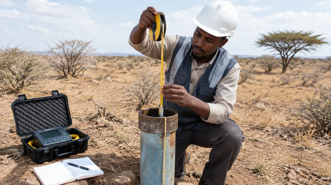
Numerical modeling & technical studies
Focused studies in hydrology, hydraulics, GIS and environmental modeling for planning and investment decisions.
Model setup & calibration
Scenario design, boundary conditions, calibration to observations and sensitivity analysis.
Risk & hazard mapping
Flood depth, inundation extent, dam-break and drought exposure mapping for planning.
Decision-ready deliverables
Technical memos, map books, dashboards and training for your teams.
Clear process, technical results
Discover
We understand the problem, data availability and expected outputs.
Model
We build scientific models, maps and simulations using suitable tools.
Validate
We review data quality, calibrate results and document assumptions.
Deliver
We deliver reports, dashboards, training and decision-ready outputs.
Find out more
Useful pages on our website and trusted groundwater resources.
- MODFLOW and related programs – U.S. Geological Surveyusgs.gov
- Groundwater wells explained – USGS Water Science Schoolusgs.gov
Let’s build a smarter water future
Contact us for GIS, hydrology, flood, drought, groundwater, coastal or environmental modeling projects.