
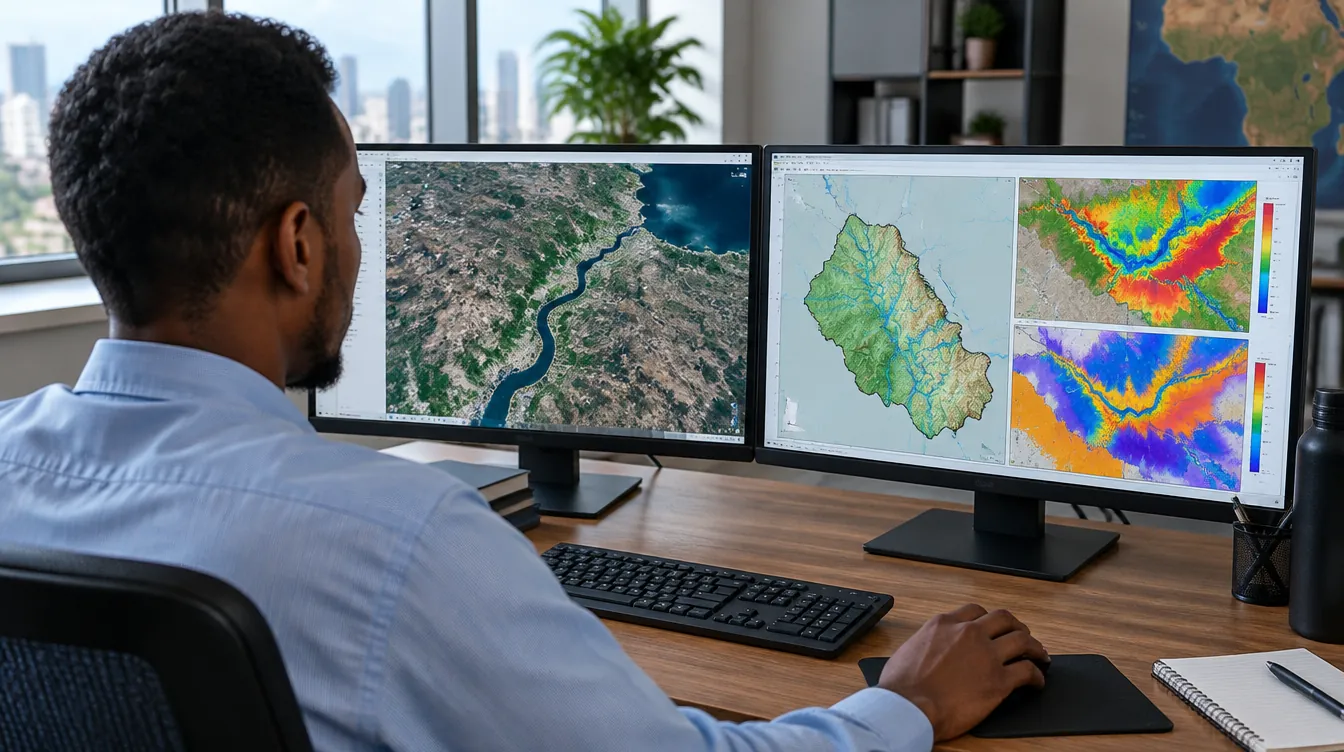
Tools & modeling expertise
From field data to decision-ready models
We support modern engineering workflows using professional and open-source modeling platforms.
01
Groundwater and watershed modeling tools
Professional and open-source platforms such as MODFLOW 6, GW Vistas, ModelMuse and PEST for flow, transport and calibration.
02
QGIS, remote sensing and geospatial analytics
Satellite imagery, land-cover analysis and hydrogeological mapping in QGIS and geodatabases.
03
Python-based automation and dashboards
Automated data processing and interactive dashboards that keep results up to date.
04
Environmental data processing and visualization
Cleaning, analysing and presenting water and environmental data so it is easy to act on.
Find out more
Useful pages on our website and trusted groundwater resources.
- MODFLOW and related programs – U.S. Geological Surveyusgs.gov
- QGIS – free and open-source GIS – the mapping software we use and teachqgis.org
- Free groundwater books and videos – The Groundwater Projectgw-project.org
- Training programs – learn these tools with us
Start a project
Let’s build a smarter water future
Contact us for GIS, hydrology, flood, drought, groundwater, coastal or environmental modeling projects.