
Sectors we serve
Delivering water, GIS and environmental solutions across key sectors in Somalia and the Horn of Africa.
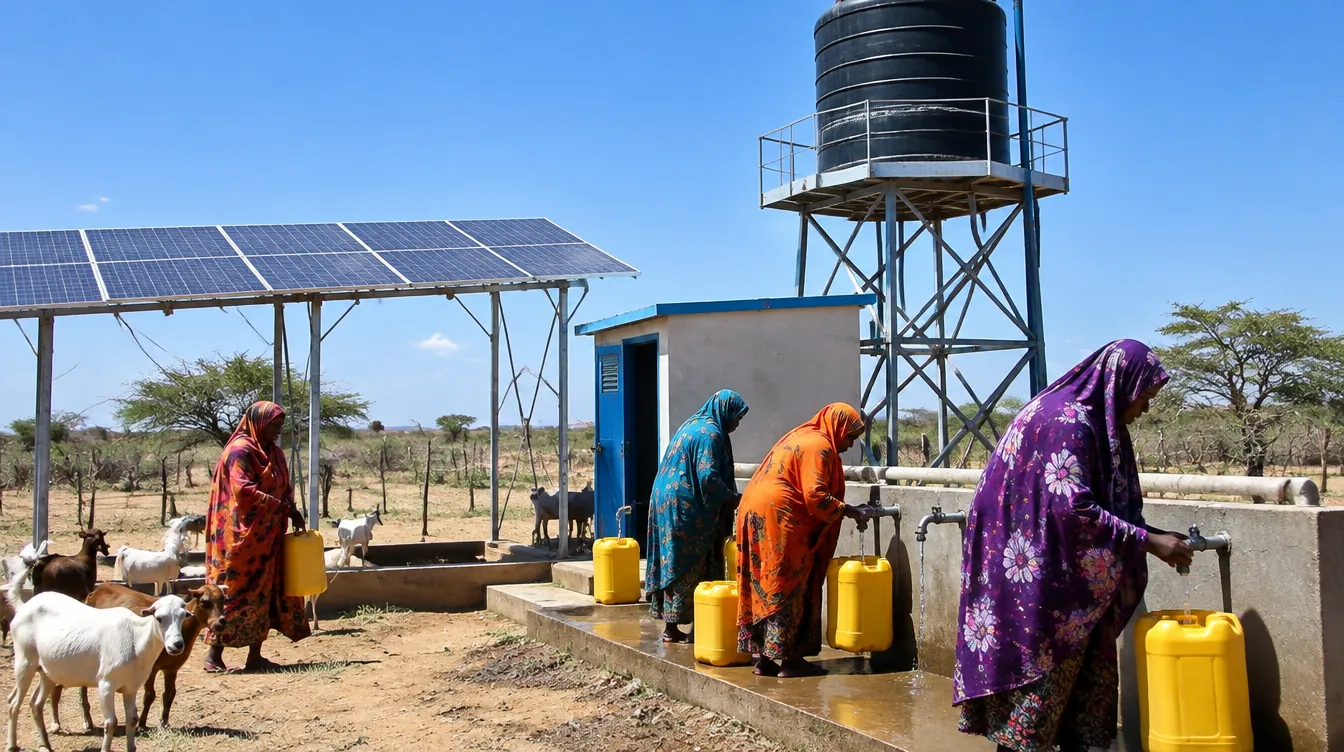
Water Supply & WASH
Groundwater availability assessments, monitoring networks and water-source protection for water supply and WASH programmes.
Disaster Risk & Climate Resilience
Flood hazard mapping, early warning, drought forecasting and resilience planning for communities and authorities.
Agriculture & Agro-pastoral Livelihoods
Water security for farming and pastoral communities, from water-harvesting feasibility to irrigation resource planning.
Cities & Municipalities
Urban flood risk mapping and spatial data that help municipalities plan drainage, infrastructure and land use.
Construction & Mining
Groundwater flow modeling for dewatering, drawdown prediction and pumping system design during excavation works.
Environment & Waste Management
Contaminant transport and leachate migration modeling for landfill sites and groundwater risk assessment.
Coastal & Island Water Supply
Saltwater intrusion modeling and freshwater lens studies for sustainable abstraction in coastal aquifers.
Education & Research
Professional training and applied modeling support for universities, researchers and technical institutions.
Who we work with
Find out more
Useful pages on our website and trusted groundwater resources.
- Somalia water and land information – FAO SWALIM – maps, rainfall and river data for Somaliafaoswalim.org
- Groundwater – benefits and challenges – International Association of Hydrogeologistsiah.org
Let’s build a smarter water future
Contact us for GIS, hydrology, flood, drought, groundwater, coastal or environmental modeling projects.